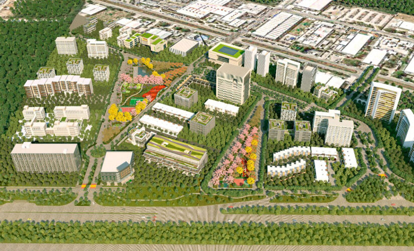
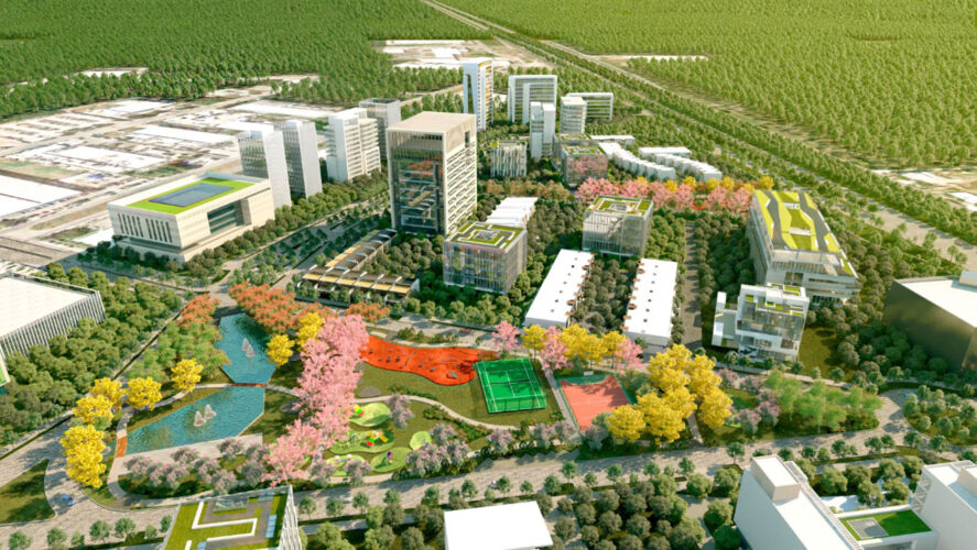
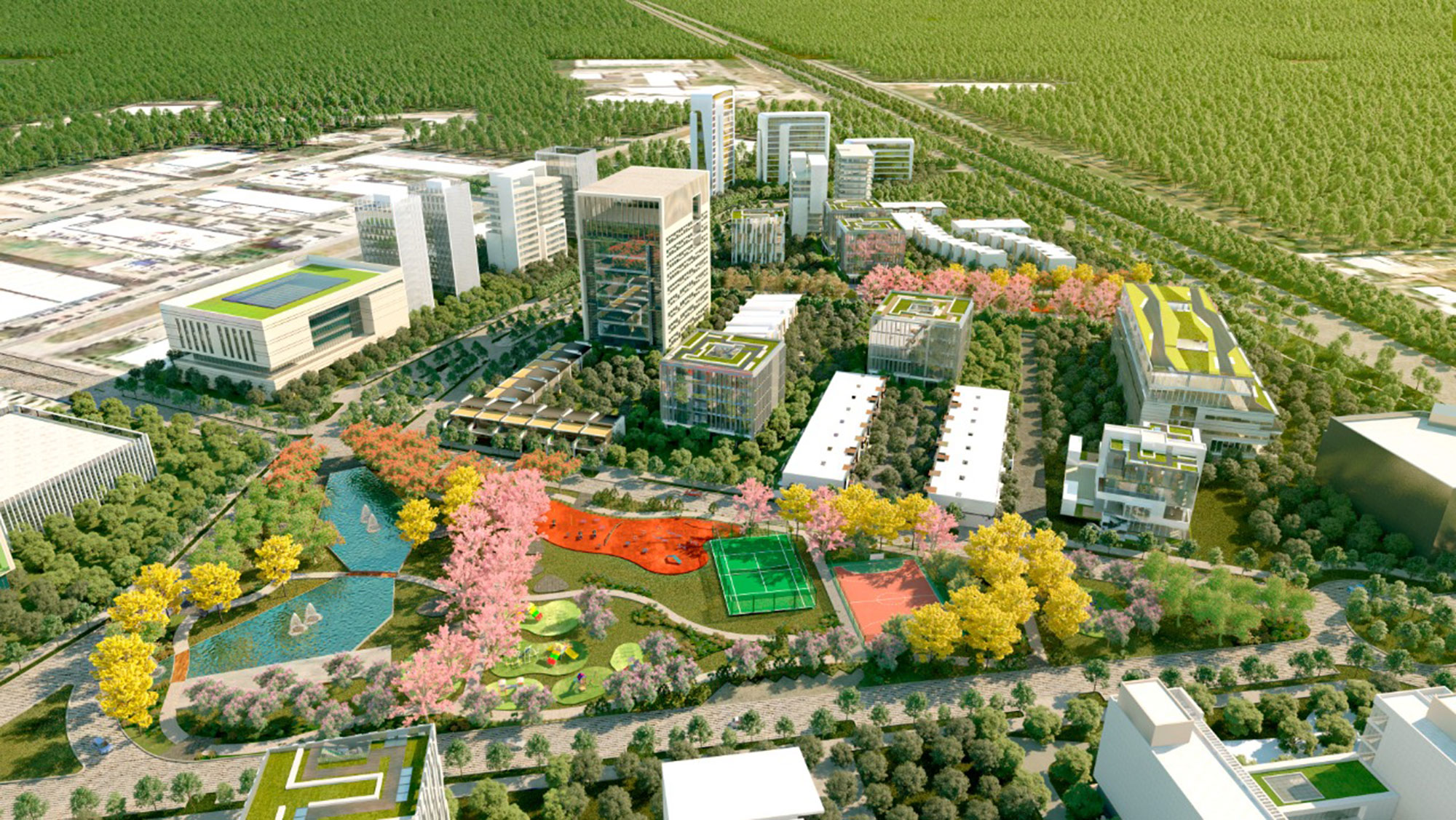
The area designated for the DX Master Plan corresponds to a polygon originally intended entirely for an Industrial Park (PI Yucatan), located north of the urban area at the beginning of the highway corridor to the port of Progreso.
The growth of the urban area to the north of the city, coupled with the low demand for industrial lots and the increasing demand for housing and services, led BT to decide to convert PIY into a mixed-use development, preserving the existing industrial area (about 42 ha) and allocating the remaining area (about 173 ha) to the creation of a new urban district with a mix of residential uses for various demand segments, commercial areas of various types, and high provision of services.
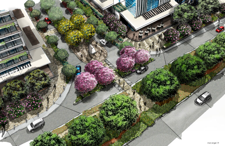
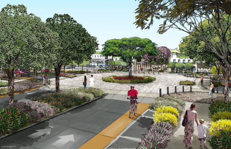
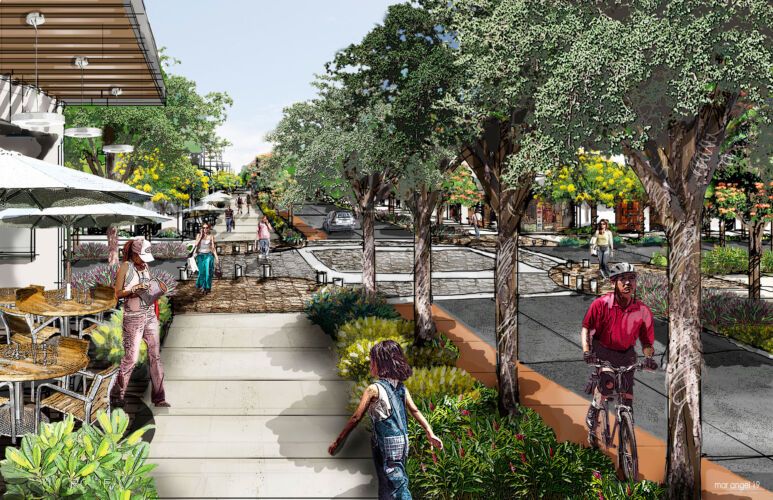
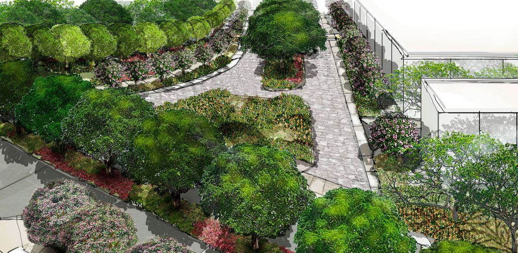
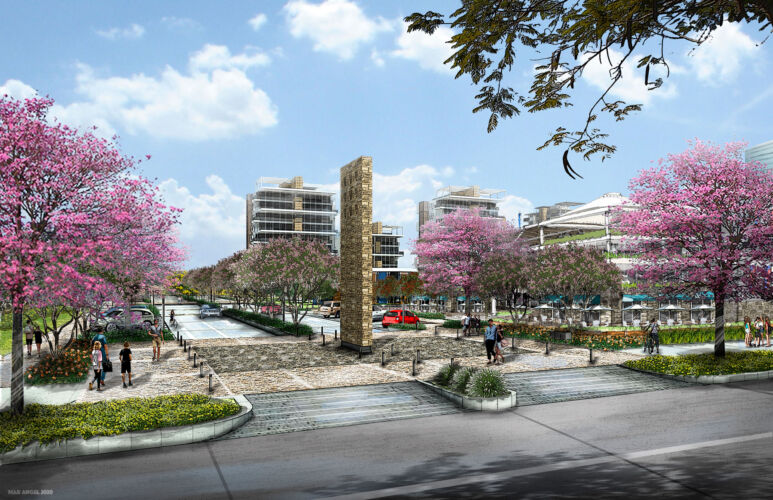
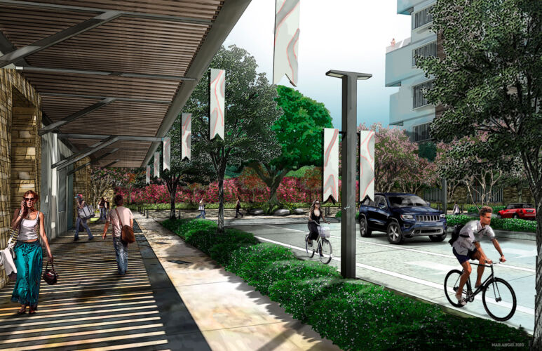
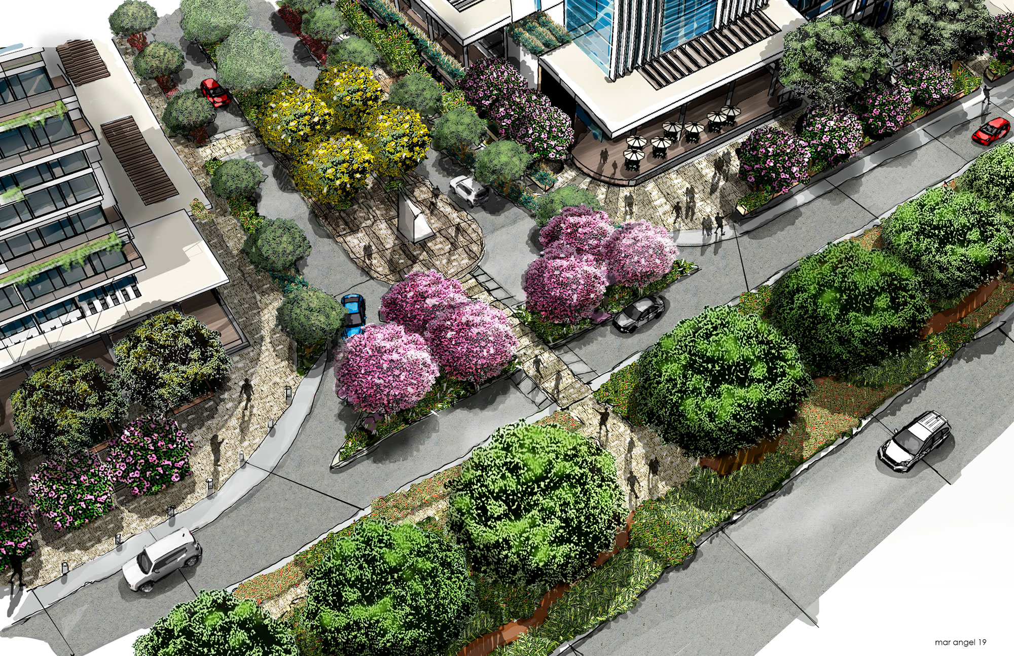
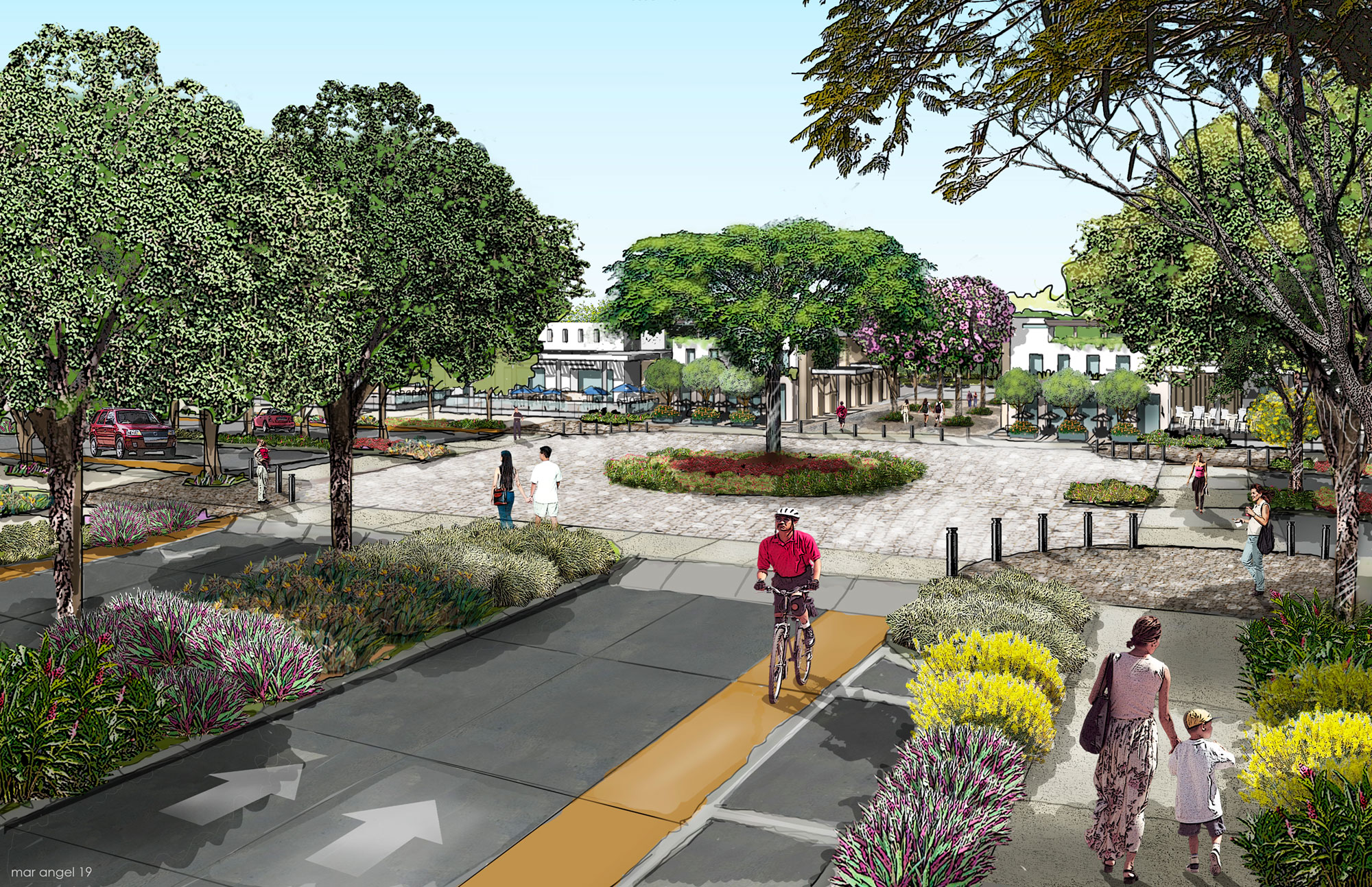
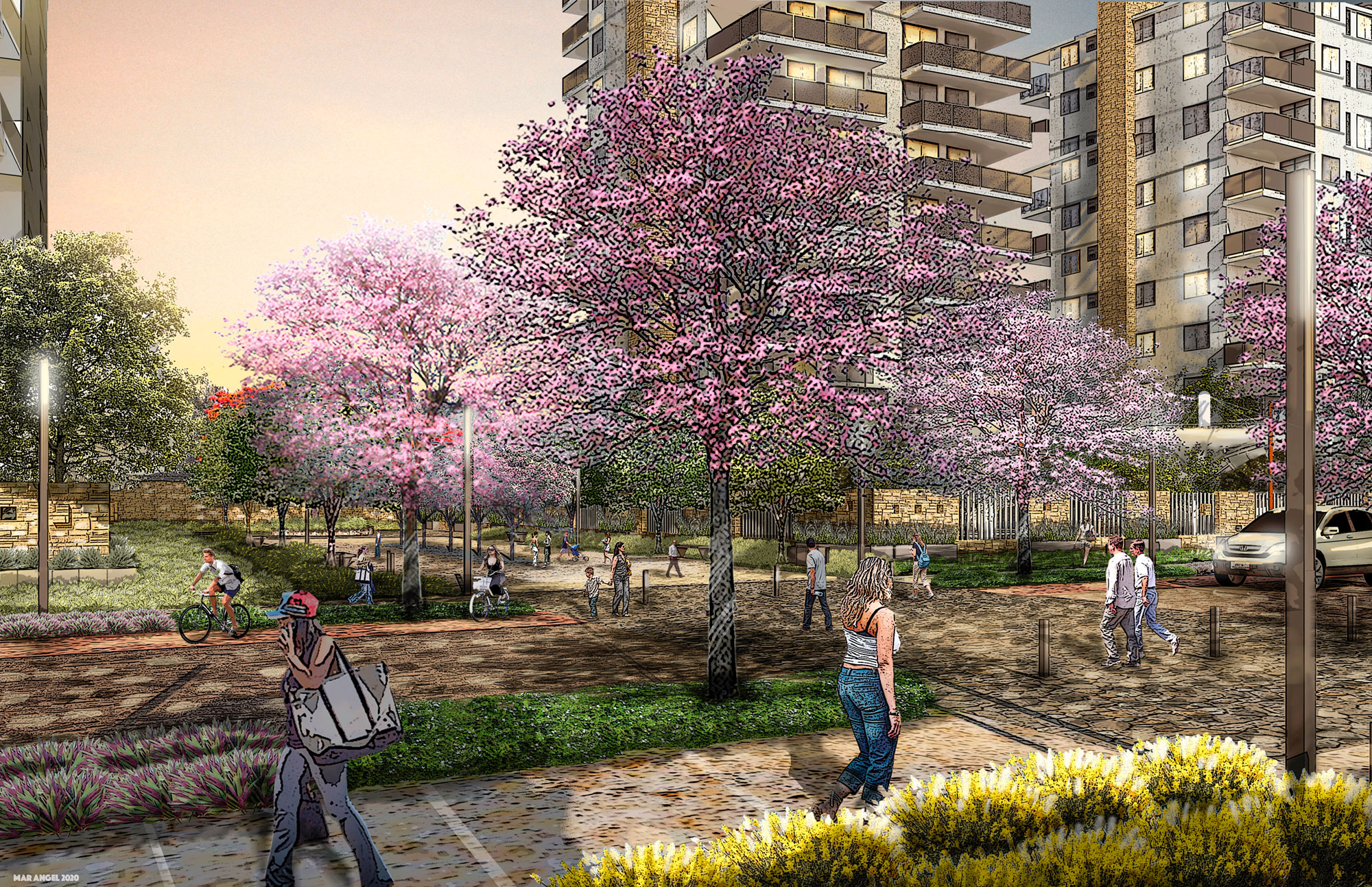
The MP of this new district includes a road structure integrated into that of the city, consisting of roads treated as green corridors and “complete streets,” with areas designated for pedestrian movement, bike paths, and public transportation, including an important promenade with boulevard treatment that will form the development’s main north-south internal axis.
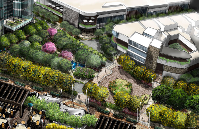
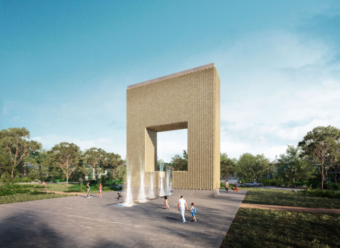
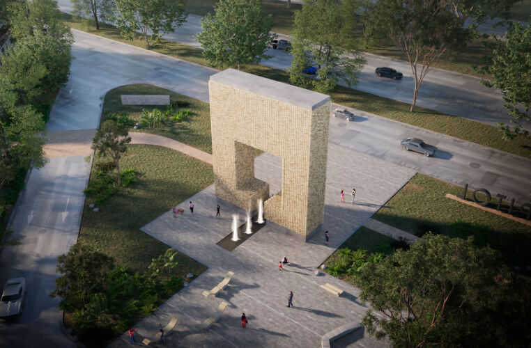
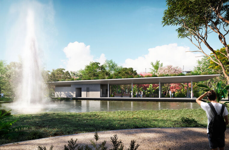
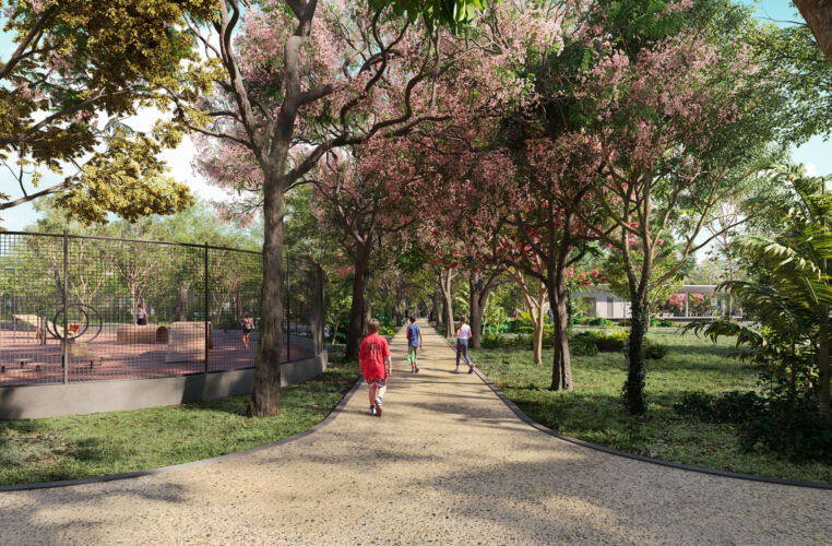
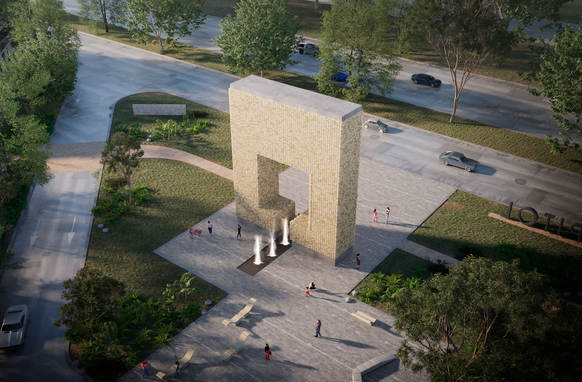
The MP also includes the creation of a green areas system that will allow the DX to have a high provision of public open space.
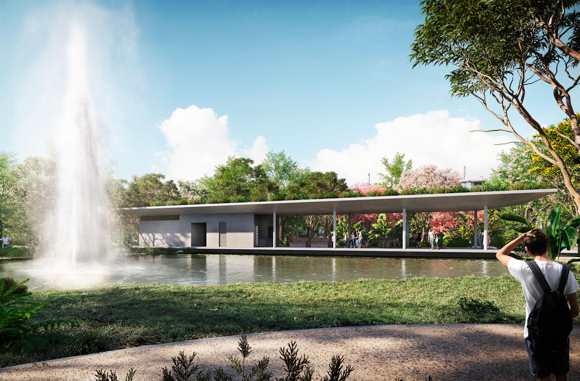
The MP also includes the creation of a green areas system that will allow the DX to have a high provision of public open space, including a District Park in the central area of the development that, due to its size (7 ha), will constitute the most important green area of its type in the city.
